



by Redazione 22/10/2026


Categories: Archaeology / Disclaimer
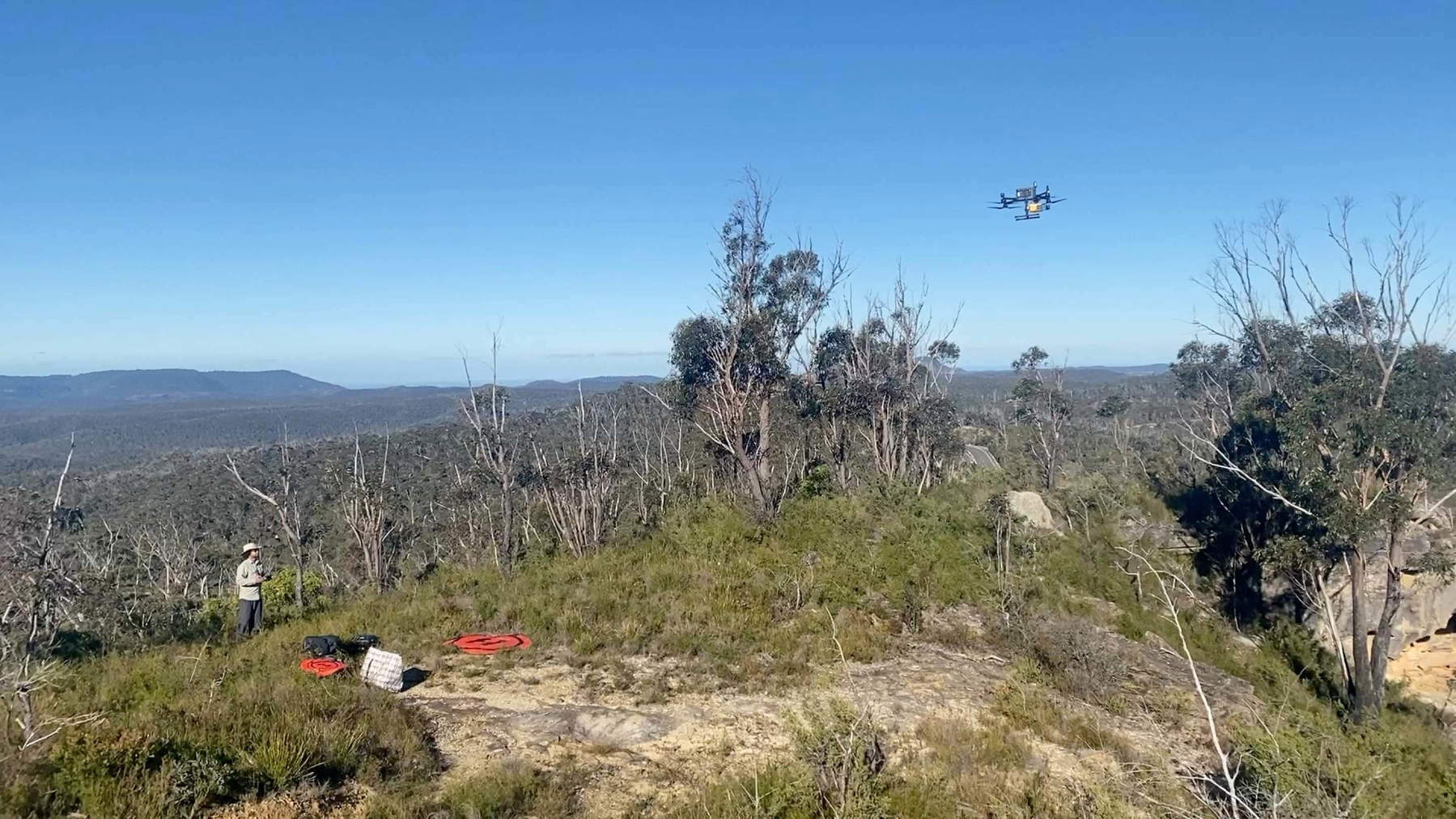
In the forests of Australia, researchers from the University of Sydney and the Australian Museum, in collaboration with the Dharug Custodian Aboriginal Corporation, have identified three previously unrecorded rock art sites—all thanks to drones equipped with LiDAR technology.


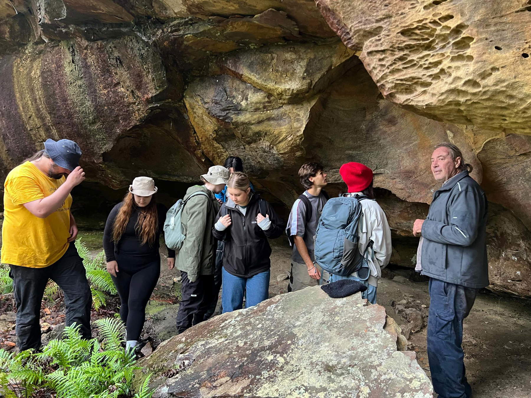
In the Blue Mountains, Australia, three rock shelters decorated with rock art and stone artifacts were identified using drones equipped with LiDAR technology. The sites, which had not previously been recorded in official archives, are located in a mountainous area covered by dense vegetation, where on-foot surveys can be time-consuming and particularly challenging. Rock shelters are shallow natural cavities found within rock faces, and among the artifacts identified are red ochre handprints—visible traces of human presence that this new methodology can help document and protect.

The research was conducted by scholars from the Vere Gordon Childe Centre atthe University of Sydney and the Australian Museum, in collaboration with the Dharug Custodian Aboriginal Corporation (DCAC), an organization of local Aboriginal custodians. The results were published in the scientific journal *Remote Sensing* and demonstrate how aerial survey technologies can complement the knowledge of Indigenous communities in the research and preservation of cultural heritage.
The technique used is LiDAR, which stands for Light Detection and Ranging. The system uses laser pulses to create detailed three-dimensional maps of the terrain and allows for the detection of landscape features that may remain hidden beneath vegetation and tree canopies. In this case, the scans made it possible to identify potential rock shelters for subsequent verification on the ground.




The survey results include six previously recorded rock shelters and three previously unknown sites, where evidence of rock art and stone artifacts was discovered. The surveys also yielded geographic coordinates that are more precise than those listed in the Aboriginal Heritage Information Management System (AHIMS), the official registry of Aboriginal sites in New South Wales.
The discovery is particularly significant given how much of the region remains to be explored; in fact, more than 200 rock shelters with cultural and archaeological evidence have been documented in the Blue Mountains, but according to Amy Mosig Way, an archaeologist at the University of Sydney and the Australian Museum, it is estimated that only 10 percent of the territory has been surveyed. The rugged terrain and difficulty of access have so far limited the scope of the surveys. “This work is interesting because it offers an efficient and precise method for identifying sites in inaccessible environments, which are notoriously difficult, costly, and time-consuming to explore,” said Jacob Bongers, lead author of the study on drone-based research and a digital archaeologist at the University of Sydney, formerly an AMF/AMRI visiting researcher at the Australian Museum. Bongers added: “It is important to emphasize that our methodology is helping to expand the documentation of Aboriginal cultural sites in the Blue Mountains and has the potential to be applied in other regions.”
From Aerial Scans to On-the-Ground Verification
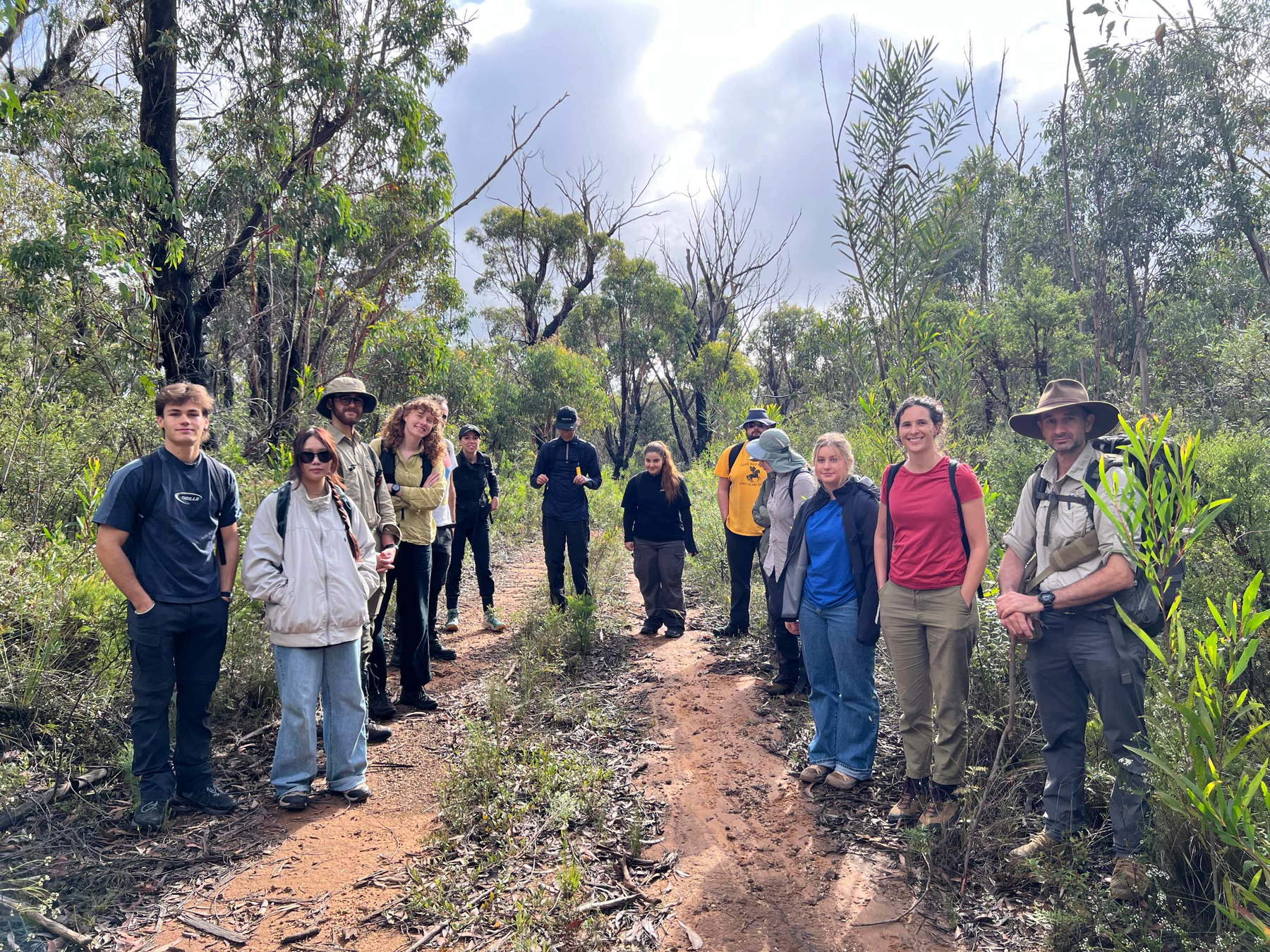
The method does not stop at identifying potential sites from the air. Following the scans, Amy Mosig Way led groups of students and volunteers into the field to verify the locations flagged by the drones and confirm the presence of cultural materials. Once the sites were confirmed, Wayne Brennan, a rock art expert and co-director of the project, and Erin Wilkins of the Dharug Custodian Aboriginal Corporation led the documentation of the paintings and other artifacts.
This work is part of the Gulamada Project, a program founded on the principle of walking side by side, bringing together scientific knowledge and the cultural knowledge of First Nations, Australia’s indigenous peoples, to understand and care for the “Country”—a term that, in the Aboriginal context, refers to the land and the cultural relationships that bind it to communities.
The approach therefore involves collaboration with Indigenous custodians, not merely the use of new technology. Local knowledge and cultural practices remain an essential part of the process of identifying, documenting, and protecting the sites.
“From the very beginning, our vision for the Gulamada Project has been to create a genuine meeting point between science and culture. This work highlights the importance of listening, learning, and collaborating,” said Wayne Brennan, an expert in Indigenous rock art and co-director of the project at the University of Sydney.
Student involvement is also a key component of the program. “One of the most rewarding aspects of the Gulamada Project has been creating opportunities for students to gain hands-on experience in cultural heritage research within a community-centered project,” explained Way, emphasizing the importance of offering direct cultural heritage research experiences within a project built around the community.
Technology and the Preservation of Indigenous Heritage
The Gulamada Project received 248,610 Australian dollars as part of the first round of the government’s First Nations Heritage Grants program, administered by the Department of Climate Change, Energy, the Environment, and Water (DCCEEW). The program funds projects carried out on the ground by First Nations communities to identify, record, and protect their heritage at sites already listed on the World Heritage List and the Australian National Heritage List.
The ability to locate archaeological sites more quickly can have significant implications beyond scientific research: the information obtained through scanning can help Aboriginal communities and heritage conservation officials document cultural sites before they are damaged by development, erosion, bushfires, or other threats. The system does not replace community knowledge or field verification, but rather offers an additional tool to direct investigations toward areas that would otherwise be difficult to explore. The ability to quickly survey larger areas of land can make reconnaissance less burdensome and allow resources to be focused on sites requiring further investigation.
Future research should test the method’s applicability in environments other than the Blue Mountains: the working group intends to collaborate with other Indigenous communities to adapt the technology to territories with different characteristics, including the tropical savannas of western Arnhem Land and the semiarid areas of western New South Wales.
The goal is to develop a methodology that can help not only identify new archaeological sites but also document and preserve cultural landscapes as a whole. For Aboriginal communities, the ability to integrate survey technologies with traditional knowledge and land-stewardship practices could become an important tool for protecting heritage for future generations.
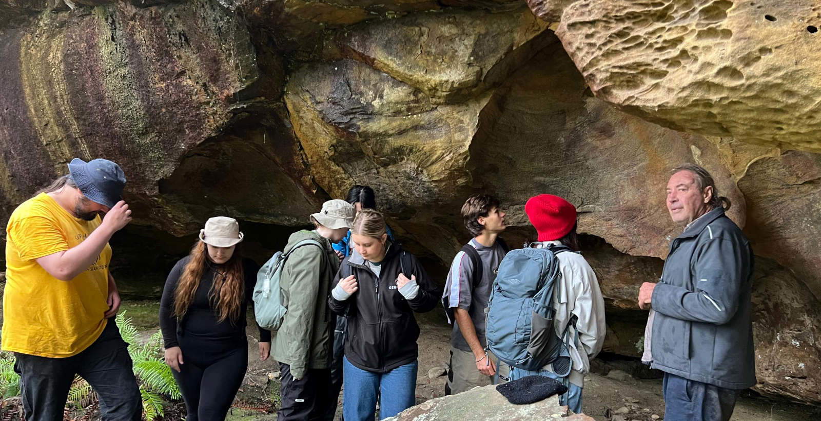 |
| In Australia, drones are discovering Aboriginal art sites hidden in the forest |
Warning: the translation into English of the original Italian article was created using automatic tools. We undertake to review all articles, but we do not guarantee the total absence of inaccuracies in the translation due to the program. You can find the original by clicking on the ITA button. If you find any mistake,please contact us.