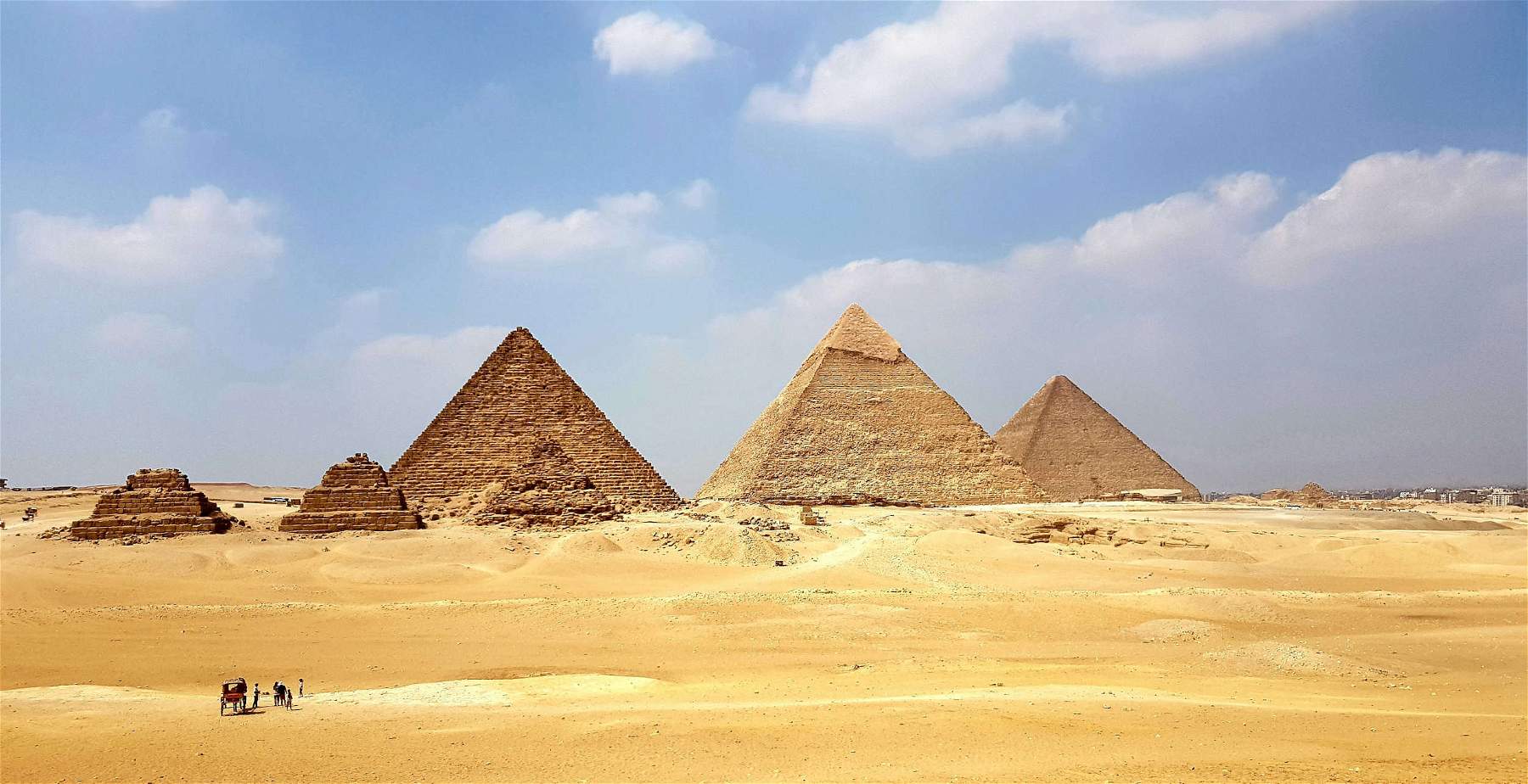
A discovery by a group of U.S. and Egyptian researchers could shed light on how the pyramids were built. And that mystery runs through amissing branch of the Nile, the great river that flows alongEgypt. A team from theUniversity of North Carolina Wilmington, which worked together with Egyptian colleagues from the National Institute of Astronomy and Geophysics in Cairo, is convinced of this: the pyramids were in fact built along the now-defunct branch, a circumstance that underscores the river’s importance as a cultural artery and demonstrates how humans historically have been influenced by environmental changes. These findings were reported in a study published in the scientific journal Communications Earth & Environment and, according to the researchers, may explain why the pyramids are concentrated in what is now a narrow and inhospitable strip of the Sahara Desert.
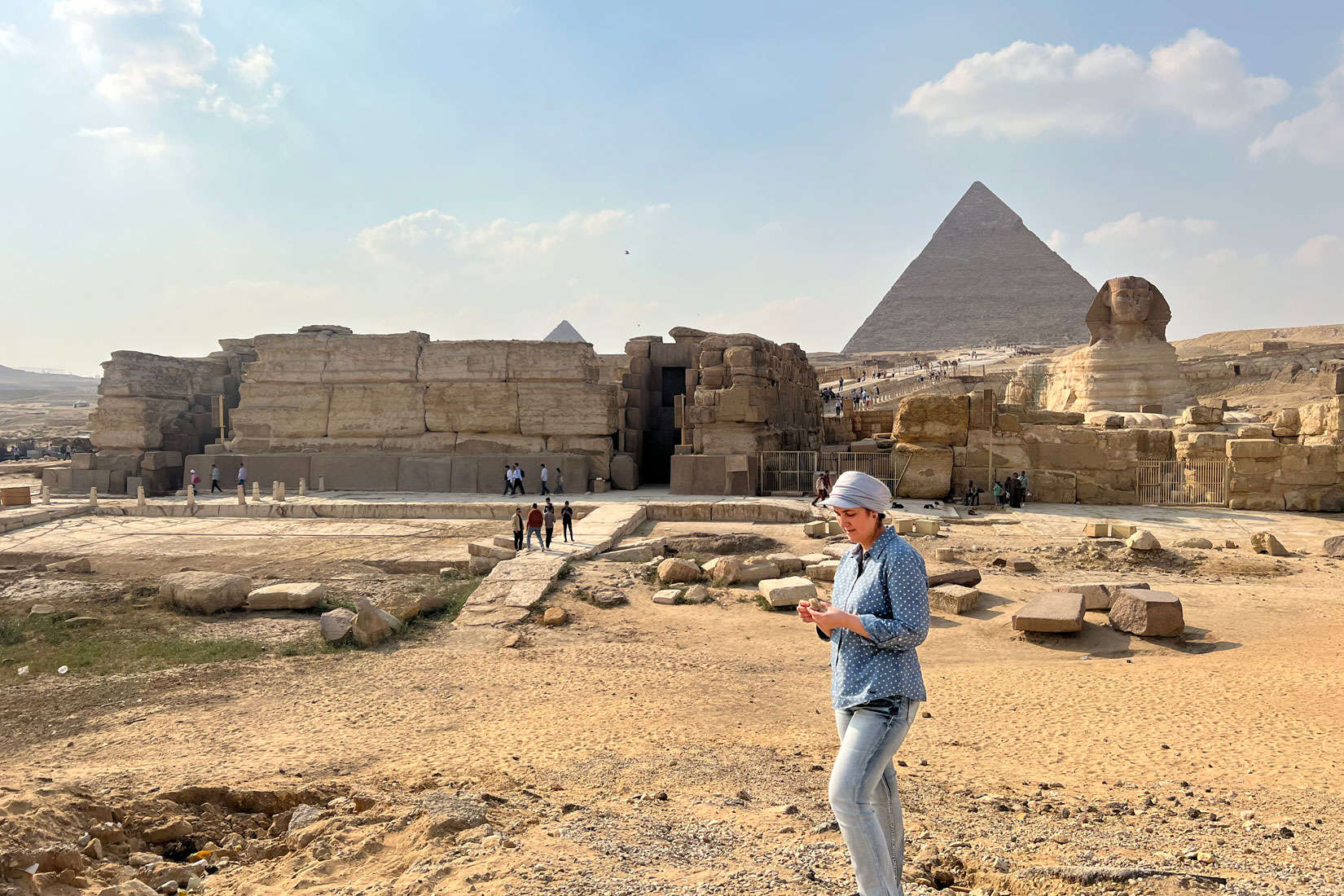
“Many of us who are interested in ancient Egypt know that the Egyptians must have used a waterway to build their huge monuments, such as the pyramids and valley temples, but no one was certain of the location, shape, size or proximity of this mega-coursewater to the actual site of the pyramids,” Professor Eman Ghoneim of Wilmington University, who led the team of scholars, said in a note. “Our research offers the first map of one of the main ancient branches of the Nile and connects it with the largest pyramid fields in Egypt.”

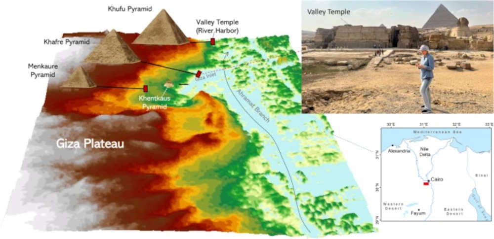
The Egyptian pyramid fields between Giza and Lisht were built over a period of 1,000 years starting about 4,700 years ago. They now lie on the edge of the inhospitable Western Desert within the Sahara Desert. Sedimentary evidence suggests that the Nile had a much higher flow rate, with the river splitting into several branches in places. Researchers had previously speculated that one of these branches might flow near the pyramids, but the hypothesis had never been confirmed. Ghoneim and his colleagues studied satellite images, conducted geophysical surveys and analyzed sediment samples to confirm the location of the former branch of the river, which they propose to call Aharamat, or “pyramids” in Arabic. The researchers suggest that an increased accumulation of windblown sand, linked to a severe drought that began about 4,200 years ago, could be one of the reasons for the branch’s eastward migration and subsequent siltation.
The discovery could explain why the pyramids were concentrated along this strip of desert near the ancient Egyptian capital of Memphis, since they would have been easily accessible via the river branch at the time they were built. In addition, Ghoneim and his colleagues found that many of the pyramids had causeways that ended on the riverbanks of the Ahramat branch-this circumstance could be evidence that the river was used to transport construction materials. So, future research to find other extinct branches of the Nile could help prioritize archaeological excavations along their banks and protect Egypt’s cultural heritage.

The Ahramat branch, according to the researchers, may have played a role in the construction of the monuments and perhaps was simultaneously active and used as a waterway to transport workers and construction materials to the pyramid sites. “The discovery of the Ahramat Branch,” reads the scientific paper, “is not only crucial to our understanding of why the pyramids were built in these specific geographic areas, but also to our understanding of how the pyramids were reached and built by ancient people. Many scholars have speculated that the ancient Egyptians used the Nile River to transport building materials to the pyramid sites, but until now this ancient branch of the Nile has not been fully discovered or mapped. This work can help us better understand the ancient hydrological context of this region, which in turn would help us learn more about the environmental parameters that may have influenced the decision to build these pyramids in their current locations during the Egypt of the pharaohs period.”
The royal pyramids in ancient Egypt are not isolated monuments, but are joined with several other structures to form monumental complexes. In addition to the pyramid itself, the complex included the funerary temple next to the pyramid, a downstream temple farther from the pyramid on the bank of a waterway, and a long, sloping causeway that connected the two temples. The road provided access to the pyramid site and was part of the religious aspects of the pyramid itself as it was used as a ceremonial walkway. In the area studied by archaeologists, many of the pyramids’ causeways were found to run perpendicular to the course of the Ahramat Branch and to end directly on the riverbank.

In the pyramid complexes, the valley temples at the end of the causeways also served as river ports. These ports were the entry point for visitors arriving by river, or along ceremonial roads to the pyramid. There are countless, the study says, temples that have not yet been found and may still be buried under the agricultural fields and desert sands along the riverbank of the Ahramat Branch. Five of these temples, however, have partially survived and still exist in the area studied by the researchers: they were positioned adjacent to the bank of the Ahramat Branch, implying that this branch of the river was already being used during the Old Kingdom, at the time of the construction of the pyramids in the area. Analysis of the ground elevation of the pyramids examined by the study and their proximity to the floodplain helped explain the location and relative water level of the Ahramat Branch during the period between the Old Kingdom and the Second Intermediate Period (approximately 2649-1540 BCE). The Ahramat Branch had a high water level during the early part of the Old Kingdom, especially during the Fourth Dynasty. This is evident from the considerable elevation of the land and the long distance from the floodplain of the pyramids dated to that period. And again, data from soil coring near Memphis indicated that the Old Kingdom settlement is covered by about 3 meters of sand. Accordingly, the Ahramat branch was initially placed further west during the Old Kingdom and then moved east during the Middle Kingdom due to drought-induced sand accumulations of the First Intermediate Period, a period of decentralization and weak pharaonic rule in ancient Egypt, covering about 125 years (2181-2055 BCE) after the Old Kingdom era. The Ahrmat branch continued to move eastward during the Second Intermediate Period until it gradually lost most of its water reserves during the New Kingdom.
The work was funded by a National Science Foundation grant awarded to Ghoneim, University of Memphis associate professor Suzanne Onstine and Macquarie University associate professor Tim Ralph: both Onstine and Ralph participated in the research.
 |
| Mystery of the Pyramids solved? A new discovery may indicate how they were built |
Warning: the translation into English of the original Italian article was created using automatic tools. We undertake to review all articles, but we do not guarantee the total absence of inaccuracies in the translation due to the program. You can find the original by clicking on the ITA button. If you find any mistake,please contact us.