The Emilia Romagna Regional Secretariat has created a new portal to allow users to discover Emilia Romagna directly from home: Tourer.it.
Based on an accurate and reliable interactive map that surveys the protected architectural heritage, Tourer.it makes available the main information related to Emilia-Romagna’s cultural assets.
Thanks to the collaboration with the CAI, the Emilia-Romagna Region, theAPT and theNational Atlas of Paths, it is possible to visualize the hiking network and the paths that crisscross Emilia-Romagna and to discover the monumental properties and trees on the route or not far from it. There are also a selection of itineraries developed in collaboration with organizations and associations active in the area. Moreover, in the very near future, travelers themselves will be able to create customized itineraries based on their cultural interests and preferred travel modes (train, bike, walking...).
Architectural properties appear on the map according to a visualization priority that suggests a progressive discovery of the widespread cultural heritage and are accompanied by an evaluation that, on an experimental basis, takes into account the historical and artistic value of the property, its landscape context, the proximity of historical/cultural trails and itineraries, the presence of dedicated bibliography as well as the interest that the property has aroused in citizens who contribute to Tourer by sending photos and reports.
Tourer.it is intended to be an open system, a tool that aims to enhance the cultural heritage through continuous updating of information; travelers can also contribute to the enrichment of the site and to the knowledge of the heritage through reports of missing assets and sending photos.
Tourer.it was developed by the Regional Secretariat of the Ministry of Cultural Heritage and Activities of Emilia-Romagna from the experience of the WebGIS of the cultural heritage of Emilia-Romagna, a site developed in response to the 2012 earthquake emergency and which has become a daily management tool at the service of cultural heritage protection. Through the WebGIS maps, it is in fact possible to deepen the knowledge of the heritage, and land management bodies can request accredited access to consult technical documentation.
In particular, the architectural assets in the Tourer are a wide selection of those in the WebGIS, chosen on the basis of their type and visibility, at least from the outside, and provided with the evaluation already explained. All data are published as open data via WEB services provided according to the most widely used OGC standard specifications(WMS, WFS, CSV, GPX, JSON and GeoJSON).
The development of the Tourer.it interface dedicated to the discovery and promotion of the diffuse cultural heritage was born as part of the project for the enhancement of the Ducato Estense, financed thanks to the “Culture and Tourism” Plan of MiBACT.
For better viewing of this site, it is recommended to use the browsers Firefox (version 4 onwards), Chrome (version 5 onwards), Opera (version 11.5 onwards), Safari (version 6 onwards) and alternatively also Internet Explorer (version 10 onwards) or Edge (version 12 onwards).
To visit the site, click here. There is a short guide to the portal on YouTube, which you will find at this link.
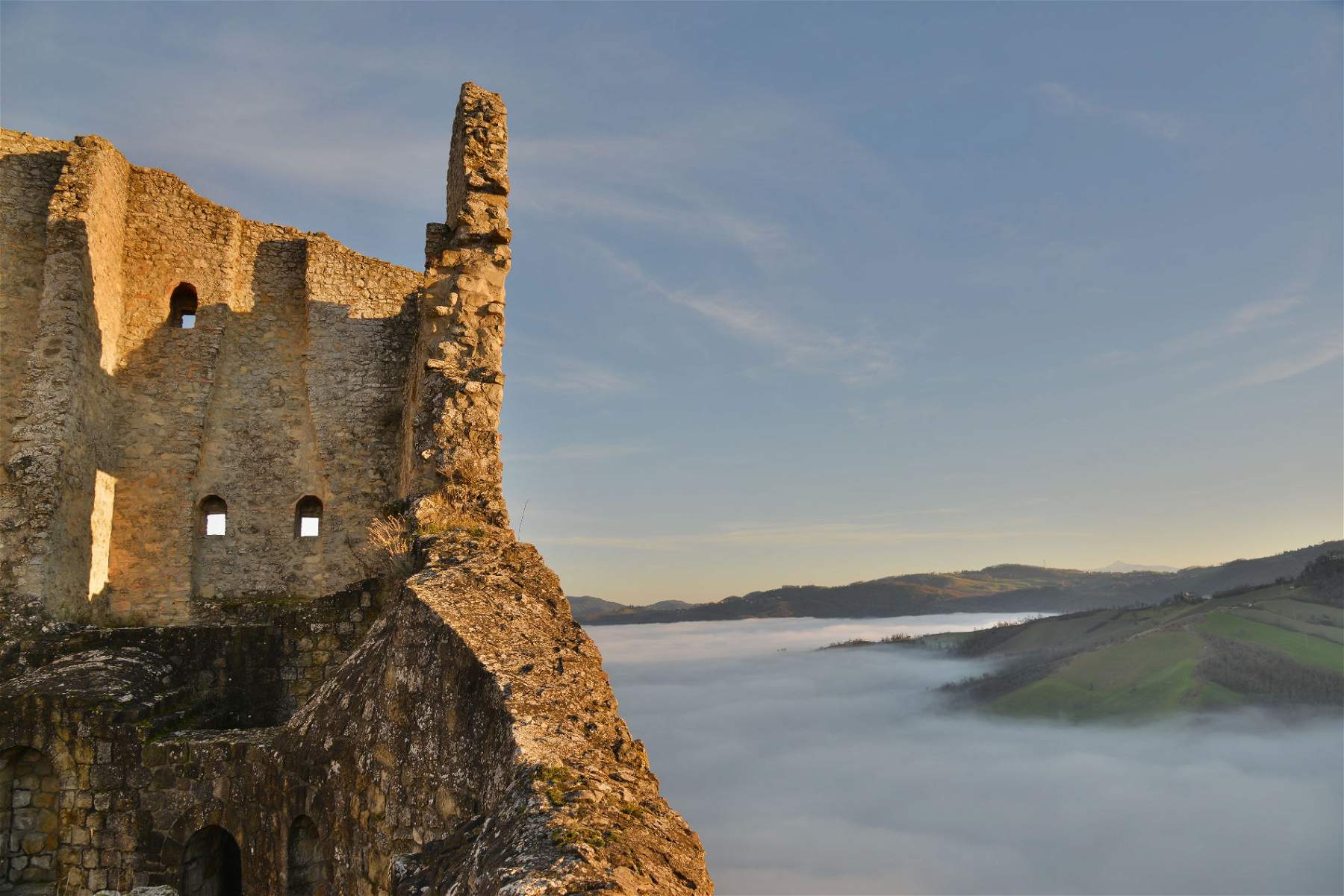
Pictured: the fortress of Canossa
 |
| A new portal to discover Emilia Romagna is born, it is called Tourer.it |
Warning: the translation into English of the original Italian article was created using automatic tools. We undertake to review all articles, but we do not guarantee the total absence of inaccuracies in the translation due to the program. You can find the original by clicking on the ITA button. If you find any mistake,please contact us.