

Walking has gained more and more enthusiasts in recent years, becoming a travel experience that combines movement, reflection and discovery. Some routes, however, are not simply paths: they offer a deeper contact with history and culture, interweaving spirituality, art and collective memory. Going through a religious itinerary means retracing routes that, over the centuries, have connected cities, states and peoples, allowing those who travel them to live an intense and personal experience. Italy has no shortage of such paths, ideal both for those who wish to tackle them alone and for those who prefer to share the journey with friends or family. The Mantua area offers routes of great value, capable of telling the story of the pilgrims and saints who crossed it.
Among these, the Mantua section of the Via Carolingia stands out for its historical and cultural relevance. The route evokes the journey made by Charlemagne from present-day Aachen to Rome in the year 800 to receive the imperial crown from Pope Leo III. It passes through 23 municipalities in the province of Mantua, from Castiglione delle Stiviere to Sermide and Felonica, and allows visitors to discover villages, monuments and natural landscapes that preserve the memory of centuries of European history. Enhancement works have made the path more accessible and safe, improving usability and orientation along the way. The Via Carolingia is now recognized as a Council of Europe Cultural Route and is a strategic element for religious and cultural tourism. Walking along its stages means immersing oneself in an experience that links discovery, contemplation and connection with the past, rediscovering the depth of a history that spans centuries.
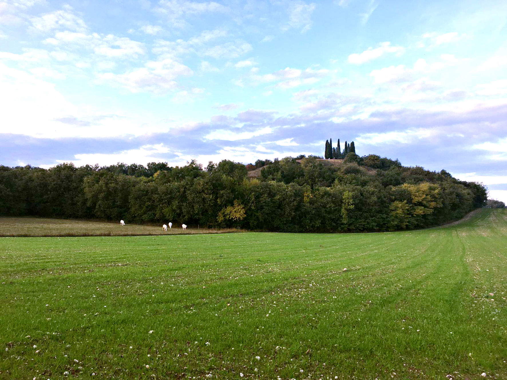
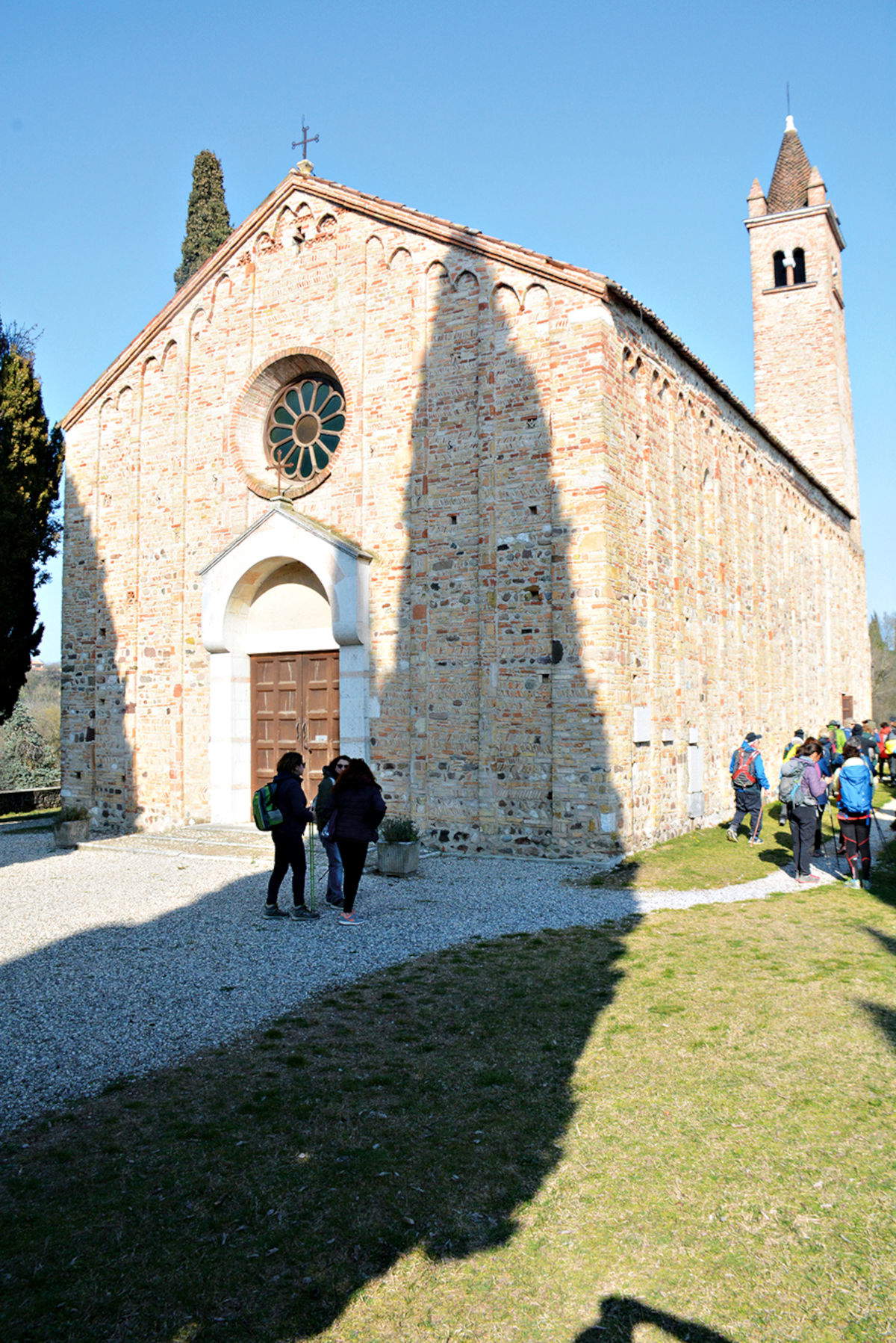
From Piazza della Repubblica in Castiglione delle Stiviere to the Pieve di Santa Maria in Cavriana, the first stage of the Via Carolingia invites a journey of slowness and contemplation among history, nature and spirituality. Castiglione delle Stiviere houses the International Museum of the Red Cross and the Basilica of San Luigi Gonzaga, a destination for international pilgrimages. Leaving the center along Via Moscati and Via Porta Lago, the urban landscape gives way to moraine hills, vineyards and rows of trees. Between Via Astore and the Convent of Santa Maria, built on anancient Roman Domus with a probably Etruscan spring, we touch on a central place in Luigi Gonzaga’s spiritual formation.
The route continues to Astore, a small scenic village near Mount Confine and the moraine ridge, then descends to Solferino, with the Rocca tower and the memory of the battle of June 24, 1859. Here Henry Dunant founded the Red Cross. Between Museo del Risorgimento, Ossuary and wooded paths, the path continues to Cavriana, an elegant walled village. Villa Mirra houses the Archeological Museum of Alto Mantovano, among Paleolithic and Risorgimento artifacts, while the botanical park offers a break among cedars, cypresses and alders. The stage ends at the Pieve Romanica di Santa Maria dell’Assunta, a place of reflection and contemplation. The route crosses moraine hills shaped by glaciers, alternating forests, fields and wetlands, habitats of rare orchids, birds and reptiles.
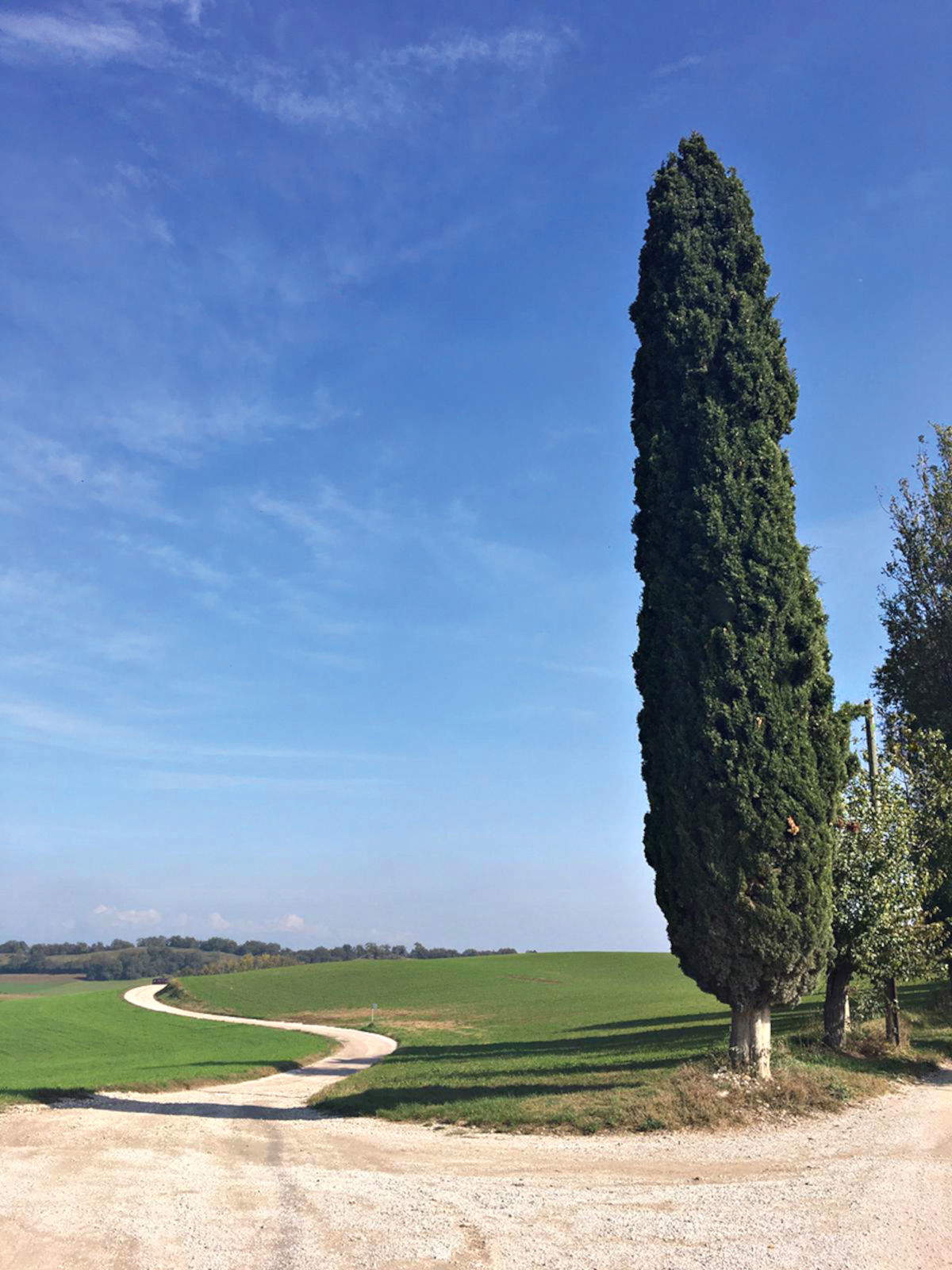
The second stage of the Via Carolingia begins in front of the Romanesque parish church of Santa Maria, a severe building that watches over the valley and greets those who set out again for Goito. Once past Cavriana, the path enters a landscape composed of orderly hills, vineyards, patches of shade and tilled fields. Farms and small rural nuclei appear along the way, while the profile of Volta Mantovana emerges from afar. The village welcomes with discreet elegance: the Castle dominates the rise and Palazzo Guerrieri Gonzaga, flanked by its Italianate garden, preserves the legacy of a long aristocratic tradition. Nearby you can also encounter the Church of the Madonnina di Mezza Campagna, a rural building of medieval origins that preserves precious frescoes and an aura of recollection. In Goito, however, the remains of the medieval Rocca emerge among the streets of the center, a reminder of the ancient Gonzaga defenses. Villa Moschini, once a prestigious residence, holds frescoes and elegant rooms, while Villa Giraffa brings together architectural languages from different eras, overlooking the river directly. Leaving the center, a bike path leads toward Gatti locality and then to the open countryside, as far as Molini di Volta, where a kiosk offers a short stop.
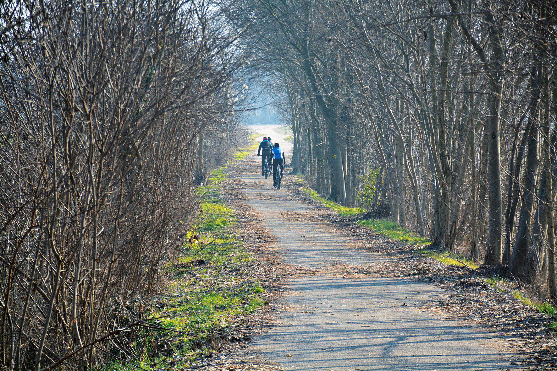
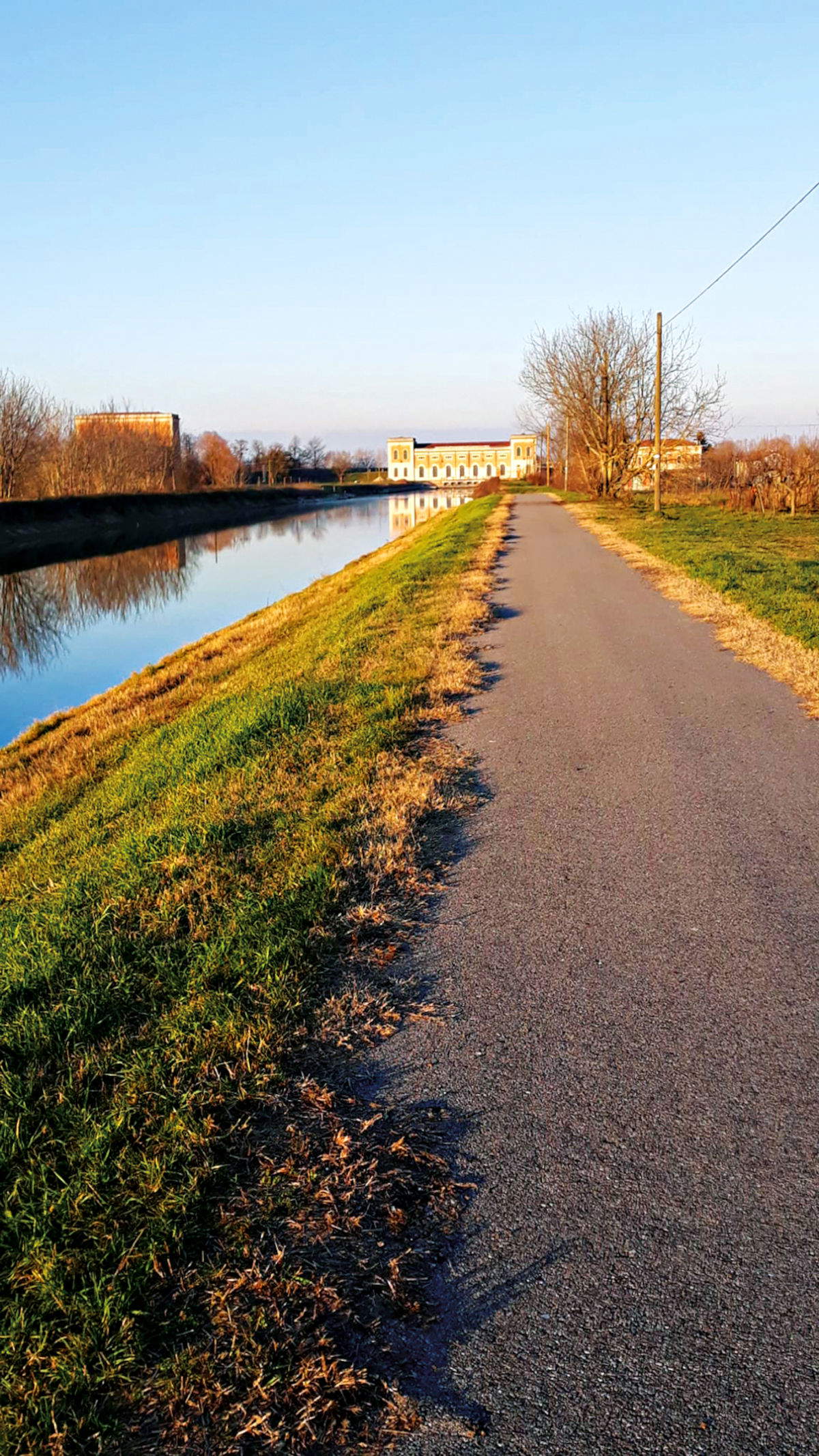
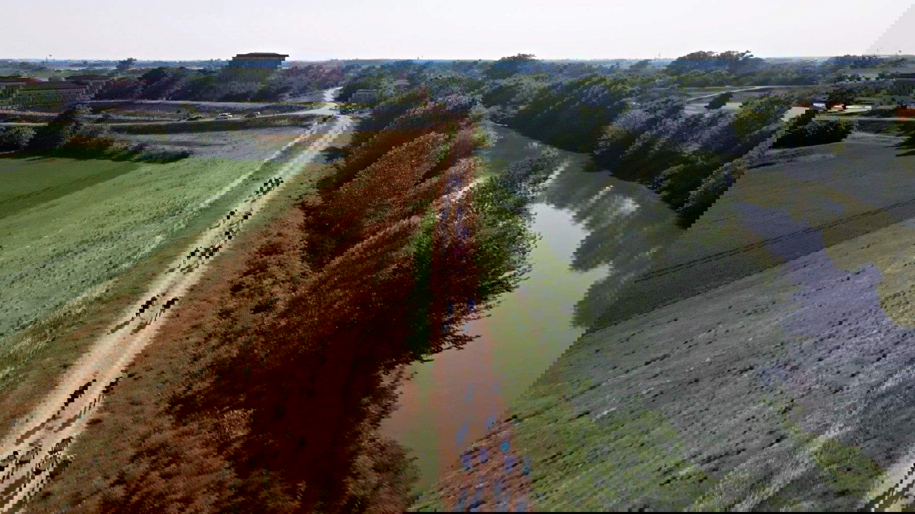
The ride continues alongside the Mincio, first regulated and then more spontaneous, crossing Pozzolo and the bridge that introduces the rural villages of Ferri, Falzoni and Torri. The wetland area extending to the Bosco degli Arimanni is home to hawks, royal swans, herons, hoopoes and, recently, ibis from distant regions. Irises, sedges, nannifers and reeds define the vegetation, while the paths on the right bank of the river provide views that light up at sunset. The last stretch is a walk immersed in the reflections of the Mincio, amid sudden flights and scents of wet grass. The Goito Bridge marks the entrance to the town, where the walker can stop in the shady park and find quiet before continuing the journey.
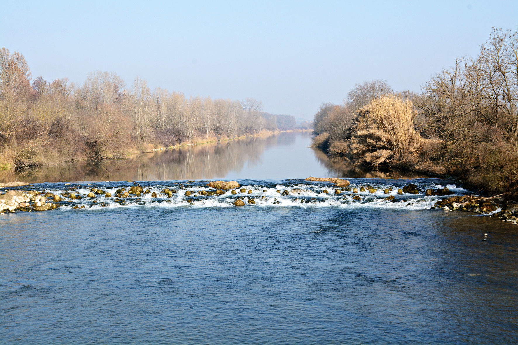
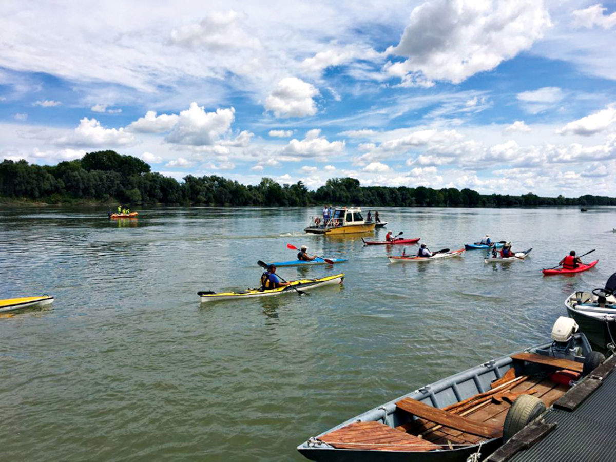
The third Mantuan stage of the Via Carolingia offers the feeling of a journey that is accomplished and, at the same time, opens up new perspectives. The journey begins in Goito, in the square dominated by the Monument to the Grenadiers of Sardinia, near the Ponte della Gloria, a place that evokes episodes of pride and defense of freedom. From here the trail flanks the Mincio River and introduces into the silence of the Bosco degli Arimanni, a portion of nature guarded by the inhabitants and linked in name to the ancient Longobard and Carolingian militias. The bike/pedestrian path reaches the village of Sacca and allows one to enter a broad rural landscape marked by orderly fields and farmsteads. The tiny hamlet of Bell’acqua anticipates the arrival at Rivalta sul Mincio, a river village traversed by light gliding over water. At Corte Mincio, the Park Visitor Center and the Ethnographic Museum introduce the life of yesteryear, amid tools, nets and evidence related to the river. Two itineraries open up from Rivalta: sailing through the Mincio Valleys, a tangle of water lilies, reeds and bodies of water, or the walking route to Grazie di Curtatone. Here stands the Sanctuary of the Blessed Virgin Mary of the Graces, amazing for the presence of votive offerings, votive statues and the famous stuffed crocodile. Every year the churchyard becomes an open-air workshop thanks to the madonnari who transform the pavement into a mosaic of images dedicated to the Virgin.
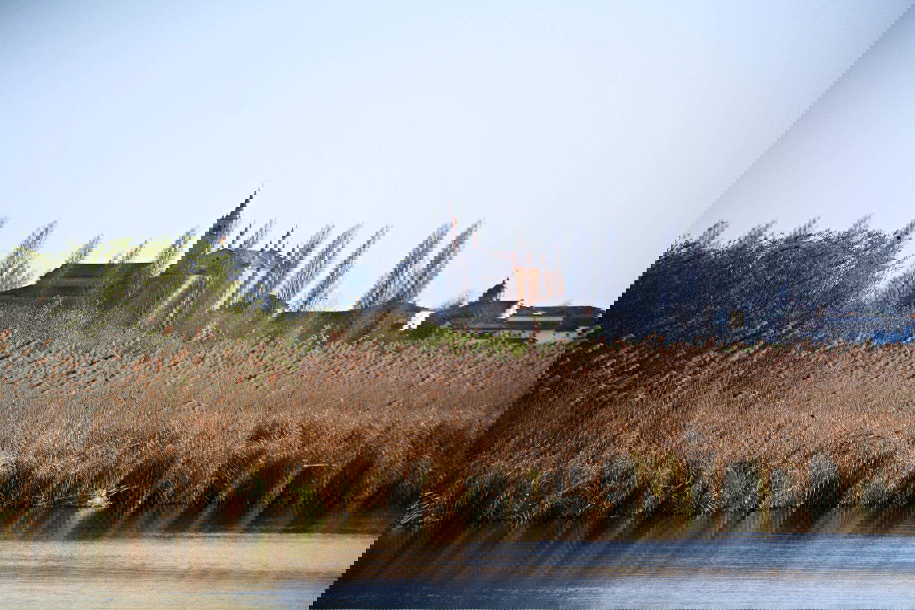
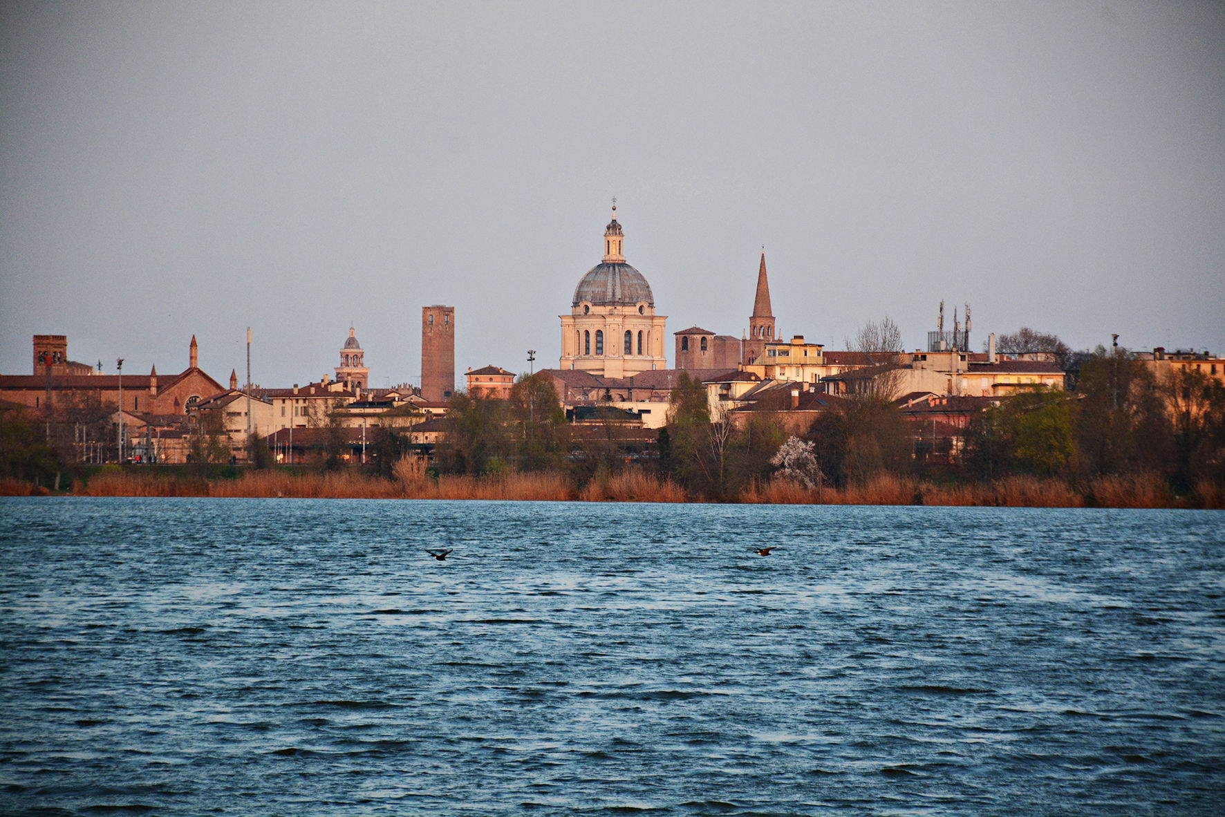
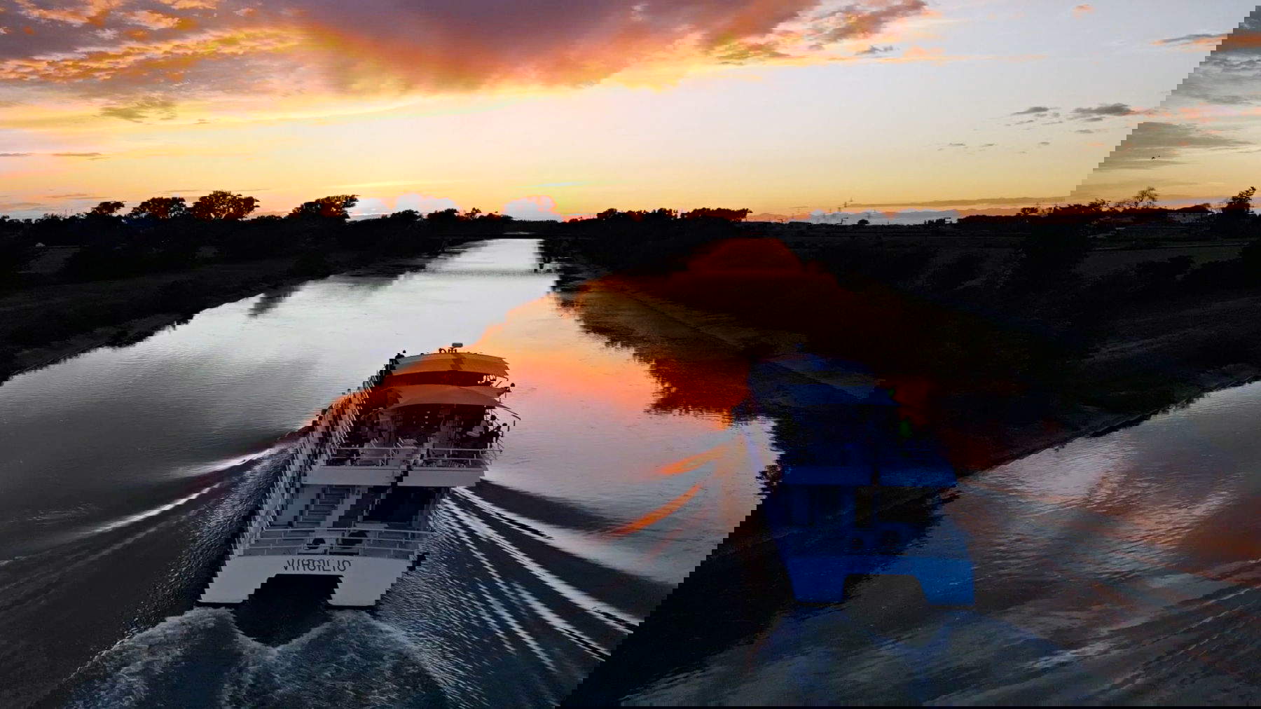
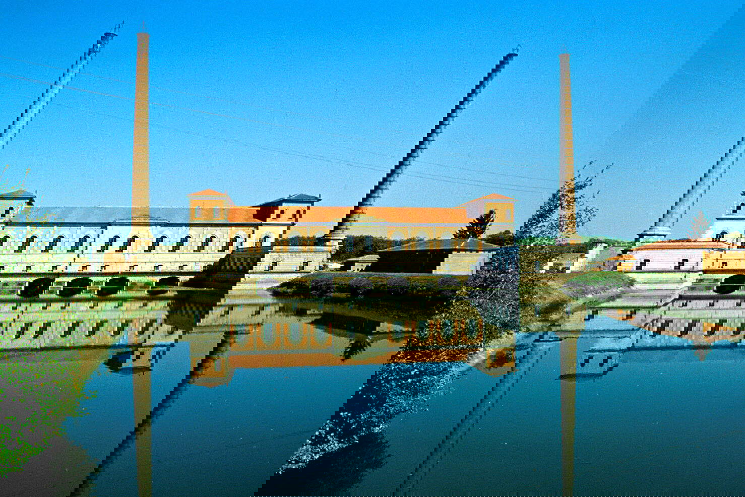
From the shrine it is possible to continue by boat to Mantua, arriving at the Belfiore Gardens or the Ponte dei Mulini, a privileged point for watching the sunset over Lake Superior. The last stretch runs along the bike path overlooking Lago di Mezzo, while the city’s profile is reflected in the water with an almost suspended delicacy. Mantua welcomes the wayfarer with the density of its history: the Duomo, the Rotunda of San Lorenzo, the Ducal Palace, the Basilica of Sant’Andrea, and museum spaces dialogue with hidden courtyards, domes, and gardens. A stop here provides a better understanding of the area’s cultural identity and offers the walker a significant breathing point along the Via Carolingia.
The fourth Mantuan stage of the Via Carolingia opens at the gates of Lake Superior and proceeds southward following the course of the Mincio, which here changes nature and divides into canals, wetlands and silent basins until it meets the Po. It is a stretch where water, agriculture and historical memory dialogue relentlessly, transforming the route into a crossing of the landscape and its stratifications. Leaving Mantua, thegardens of the Orto Carolingio introduce a territory shaped by man but still tied to the rhythms of the river. Beyond the Argine Maestro one intercepts the Ciclovia Sole, which leads to the Fort of Pietole, a Napoleonic construction that has become Virgil Museum Park. Tradition identifies here as the birthplace of the Latin poet Virgil, and the atmosphere of the surrounding forest recalls his ancient voice.
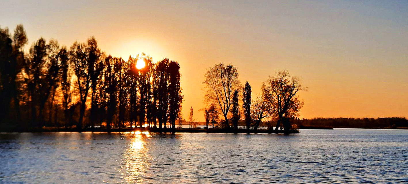
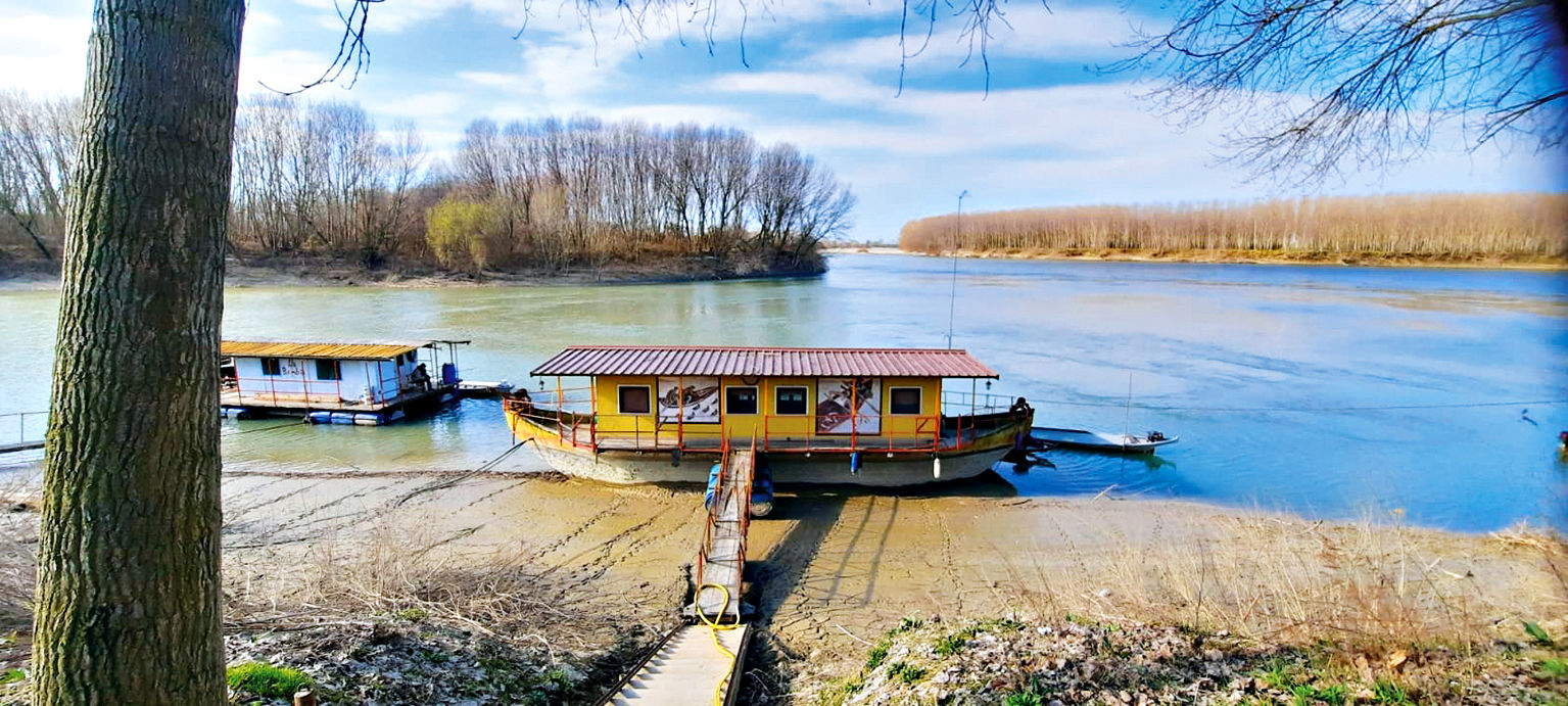
Continuing on, the Forcello Etruscan site takes us back to a remote era through experimental reconstructions and educational activities showing life over two thousand years ago. A little further on appear the Travata water-scooping plant and the Chiavica del Comando, evidence of the great reclamation season, when engineering and water balanced each other to make the plain navigable and fertile. The arrival in Governolo represents one of the most intense moments of the journey. The village has controlled the point where the Mincio flows into the Po for centuries and holds matildic traces, Risorgimento memories and hydraulic structures that are still active. The Museo Diffuso del Fiume illustrates this long history of coexistence between community and water through models, narratives and engaging environments. The natural landscape accompanies every step: herons, marsh hawks, wild ducks, reeds, irises and rare orchids populate the protected area of Mincio Park. In the Vallazza, the river widens into bright mirrors surrounded by willows and alders, creating a quiet atmosphere that invites contemplation. It is a slow walk, designed for those who wish to listen to the territory and recognize the deep connection between man and river. At Governolo, the path opens eastward, along the Po; before departing, the pilgrim finds here a point of quiet, where the landscape seems to hold and return every emotion of the journey.
Leaving the river core of Governolo, the journey continues to one of the most spiritually charged destinations of the entire Carolingian route. The Po flanks the walker with its quiet breadth, showing shores shaped by agricultural labor and traditions that have spanned the centuries. The direction is Saint Benedict Po, the historic center of Po Valley monastic life and a place linked to the great figure of Matilda of Canossa. From Via Molinara the route points to Correggio Micheli, following the embankment to the road bridge that allows you to reach the opposite bank. Some operators offer water or land crossings upon request. Beyond the river, the trail advances along the main meander, among cultivated fields and light plays on the water. It meets Gorgo, known for familiar trattorias and an Astronomical Observatory that hosts a planetarium and popular popular initiatives during the summer.
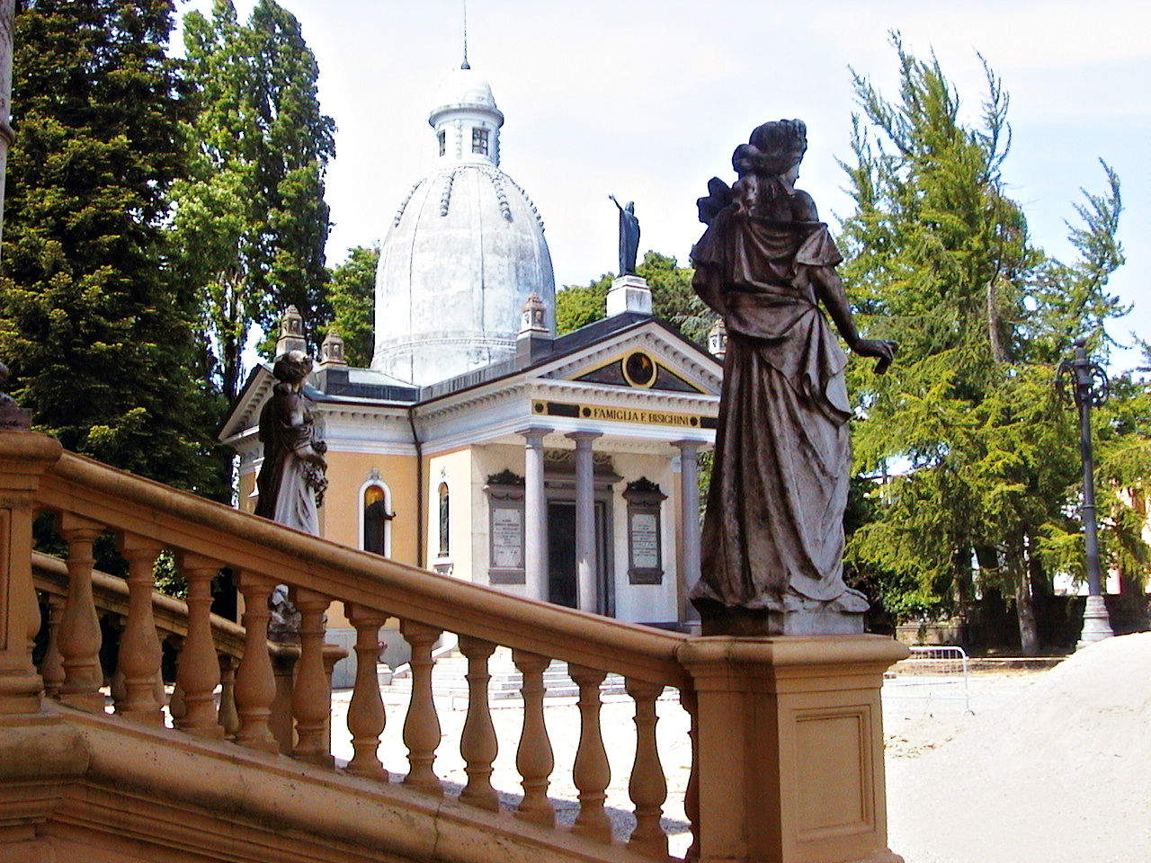
Arriving in Saint Benedict Po, theAbbey of Saint Benedict in Polirone emerges in the distance as a fixed point in the landscape. The last stretches flow through windswept poplar groves and wetlands inhabited by tiny fauna. Polirone Abbey, built in 1007, preserves cloisters, frescoes, ancient rooms of monastic life and a luminous basilica that immediately restores the sense of its ancient religious centrality. Not far away, the Church of Santa Maria in Valverde, reached by a detour, offers a small Gothic setting surrounded by meadows, where 15th-century frescoes and an octagonal bell tower create a cosy atmosphere.
The Po remains the real natural protagonist: a waterway that has sustained trade, reclamation and settlement, today it still holds floodplain forests and a rich fish fauna. To cross it is to enter a landscape that demands attention and respect, especially in the transitional seasons, when mists, scents and sounds are constantly transforming. The arrival in Saint Benedict Po finally marks the transition from an area shaped by water to one dominated by stone. A visit to the Museo Civico Polironiano then allows one to encounter peasant and monastic memory in a singular tale. Those who end the stage here take with them the slow rhythm of the walk, the voice of the river and the quiet of the Abbey.

After leaving the monumental Abbey of Saint Benedict in Polirone, the journey resumes along the expanse of the Po, where embankments, fields and poplar groves build a wide and silent horizon. The route passes through collected hamlets and river landscapes that alternate between light, water lines and sudden openings onto the plain. From the village square you advance toward Bardelle and then Mirasole, a small rural nucleus immersed in cultivated fields, until you reach the river’s main bank. From here the view stretches over a wide territory, marked by the mouths of the Secchia and large hydraulic systems, witnesses to the constant relationship between man and the plain.
Having reached Quingentole, dominated by the parish church and the historic Villa Vescovile dei Gonzaga, the path offers two routes. One follows the Po along Via Roveri, among willows and bends in the water; the other detours to the Church of San Lorenzo, a building of early medieval origin, and then enters poplar groves and reaches Pieve di Coriano from the southern side. Here the Pieve di Santa Maria Assunta preserves 16th-century frescoes and the memory of Matilde di Canossa, linked to the building’s foundation in the 11th century. Going up the embankment we reach Revere, where the Ducal Palace designed by Luca Fancelli for Ludovico II Gonzaga introduces us to the historic center. The medieval keep and the architecture facing the inner streets evoke the strategic past of the village, once a dynamic market and control point on the Po. A stop among the arcades and stores allows you to savor the village’s identity, made up of daily gestures, traditions and local scents.
Among the places not to be missed along the route are the Church of Santa Margherita in Brede, the Secchia water-supply plants, the Romanesque Church of Nuvolato with its link to the work of Giuseppe Gorni, the Museum dedicated to the artist, the Ducal Palace of Revere with the Po Museum and the reconstructed boat mill. The Sanctuary of the Blessed Virgin Mary of Comuna completes the spiritual itinerary, one of the main shrines in the Mantuan diocese.
After leaving Revere, with its Gonzaga heritage and the profile of the medieval tower, the path resumes following the quiet course of the Po. The right bank introduces us to a wide plain, marked by fields, poplar groves and patches of woodland resurfacing between the meshes of agriculture. Away from the houses, Via Argine Po stretches toward territories where the Mantuan truffle has found its ideal environment: a mosaic of sandy soils and wetlands that has made Borgofranco sul Po famous. Bonizzo welcomes with an intimate atmosphere, a prelude to a rural landscape that preserves ancient rhythms. Borgofranco maintains a strong link with local produce and, during seasonal fairs, offers tastings and meetings dedicated to truffles. Proceeding along the river, the view opens toward Carbonara di Po and theBoscone Island Oasis, one of the largest lowland forests in Lombardy. The presence of herons, night herons and bee-eaters makes the area a favorite spot for those observing the behavior of migrating birds.
Resuming along the main bank, the route crosses territories shaped by land reclamation, a memory of the complex relationship between water and human labor. Just before reaching Sermide one encounters the structure of the old Teleferica, evidence of the twentieth-century production activity linked to the Eridania sugar refinery. The arrival in the town is harmonious: the Nautica river area offers a green space dedicated to relaxation, frequented by sportsmen and families. Sermide maintains a strong agricultural identity, known for melons and sweet onions. The center gravitates around the church of Saints Peter and Paul, built in the 19th century on the ruins of the earlier 15th-century church, while the Gonzaga civic tower recalls the ancient fortified layout. Beyond the town, in the direction of Felonica, the Capuchin church, with its former 17th-century convent, offers a meditative setting surrounded by greenery.
The final itinerary of the Mantua section of the Via Carolingia takes shape in Sermide, in the river park where the Po flows broad and silent. From here the road climbs the embankment and proceeds eastward, immersed in greenery and accompanied by a horizon that expands step by step. It is a border territory, where three regions brush against each other and let different memories, accents and traditions surface. The first encounter is Felonica, dominated by the Romanesque parish church of Santa Maria Assunta, an ancient building that looks toward the river like a discreet garrison. At one time the Benedictines controlled the movements of pilgrims and the safety of navigation from here. The village is also home to the Po River Second World War Museum, an intense collection of evidence related to the river front and the passage of the Allies in 1945.
After a stop, perhaps tasting tiròt, focaccia with onions with a frank flavor, the route returns to the embankment, where the landscape alternates between cultivated fields, wetlands and oases populated by migratory birdlife. The walk finally leads to Quatrelle, a village marked by the Church of the Nativity of Mary, rebuilt after the 2012 earthquake and enriched by a valuable wooden crucifix. A few minutes more and the walk finds its conclusion in front of the Rocca Possente of Stellata. The fortress, with its severe lines and sloping ramparts, dominates the Po and heralds the transition from the Gonzaga lands to the Este lands. Established during the Middle Ages to control river traffic, it retains a solemn aura and marks the symbolic landing place of the journey. The river accompanies every stretch of this stage: water, light and silence intertwine to create a landscape that invites meditation. With the arrival at the fortress, the Via Carolingia mantovana closes as an experience of encounter with places, memory and nature.

 |
| The Mantua section of the Via Carolingia: retracing the steps of Charlemagne among villages and landscapes |

Warning: the translation into English of the original Italian article was created using automatic tools. We undertake to review all articles, but we do not guarantee the total absence of inaccuracies in the translation due to the program. You can find the original by clicking on the ITA button. If you find any mistake,please contact us.


